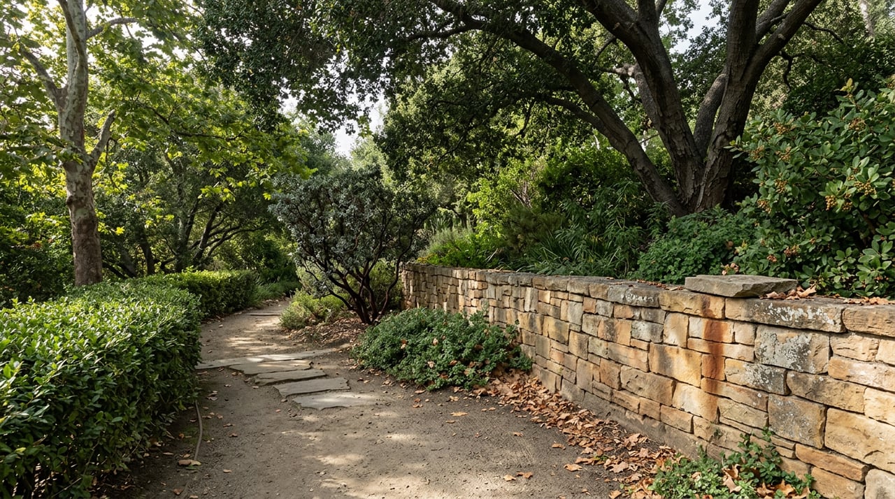
If you walk your dog along the west side of San Ysidro Road most mornings, or you cut across the north side of North Jameson Lane between San Ysidro and Olive Mill, you have probably never thought of that stretch of pavement as a trail. It looks like a sidewalk. It functions like one. But it was built and is maintained as part of Montecito's community trail network, a project of the Montecito Trails Foundation, the same volunteer group that has kept the canyon trails above the village passable since 1964. Most residents know one half of this system and have never set foot on the other.
That split is worth understanding in August, because the two networks behave completely differently right now, and a standing forest order changes what you can and can't do on the upper half of the system for the next two years.
The Trail You've Been Walking Without Knowing It
The Montecito Trails Foundation maintains roughly 90 miles of trail across Montecito, Summerland and Carpinteria, and not all of it looks like wilderness. A meaningful portion of it is the flat, street-level network that runs alongside ordinary roads, including the San Ysidro Road corridor between the 101 and East Valley Road and the North Jameson Lane stretch near Olive Mill. These were built deliberately as a separate layer from the sidewalks, a walkable spine through the village that lets residents move on foot between neighborhoods without following car traffic the whole way.
This is the trail system that does the daily work. It's flat, shaded in places, and usable at any hour without a plan. It's also the one nobody writes about, because it doesn't have a summit or a swimming hole. If your version of a Montecito walk is a loop before dinner or a stroller route on a Sunday, this is almost certainly the network you're already using, whether or not you've ever called it a trail.
The Canyon System Above the Village
The other half is Cold Spring Trail, and it's a genuinely different kind of outing. The marked trailhead sits inside Gould Park off Cold Springs Road, and the correct start point is easy to identify because it's posted with a wooden sign carrying the letters MTF, the Montecito Trails Foundation's own initials, set on the east side of the creek crossing.
From there the trail climbs immediately. About a quarter mile in, you hit a junction with the West Fork of Cold Spring Trail. Staying on the main route means two more creek crossings before the trail switchbacks up to a junction with Hot Springs Road, a dirt fire road under a set of power lines, roughly a mile and a half from the start. This is the spot most casual hikers treat as the destination. It has a genuine overlook, with Montecito and the ocean laid out below, and it's a reasonable turnaround point if you came for the view rather than the summit.
Push further and the numbers get less consistent depending on which source you check, which is itself worth knowing before you commit an afternoon to it. Some trail guides put the full round trip to Montecito Peak at six to seven miles. Others list a shorter route of roughly two and a half miles with about 800 feet of elevation gain. The gap likely comes down to which trailhead each source measured from, since Cold Spring Trail can also be picked up from Camino Cielo at the top of the ridge, not just from Gould Park below. If you're starting from the village, plan for the longer number.
Here's how the two systems actually compare, side by side:
| Community Trail Spurs | Cold Spring Canyon Trail | |
|---|---|---|
| Access | San Ysidro Road, North Jameson Lane | Gould Park, off Cold Springs Road |
| Surface | Paved or packed path | Dirt, creek crossings, loose gravel near the top |
| Distance | Short, point to point | 1.5 miles to the overlook, 6 to 8 miles round trip to Montecito Peak |
| Shade | Mostly shaded | Shaded in the lower canyon only |
| Best time in August | Any hour | Early morning, before the upper switchbacks heat up |
What Actually Changes in August
The lower canyon on Cold Spring stays cool, with oak and sycamore cover and a creek that runs most of the year. Past the Hot Springs Road junction, that cover disappears. The final stretch to the summit is exposed, loose underfoot, and dry by midsummer, which is exactly the kind of detail that separates people who've hiked it once from people who hike it every year. Start early if you're going past the overlook.
The bigger change this season isn't about heat. It's a standing order from the Los Padres National Forest that's easy to miss if you haven't looked at the forest service's alerts page recently. The Santa Barbara Front Country Fire Use Restriction, in effect from February 27, 2026 through February 26, 2028, prohibits building, maintaining or using a wood or charcoal campfire on National Forest System land within a defined boundary that runs along Refugio Road, West Camino Cielo, San Marcos Pass Road, East Camino Cielo, Gibraltar Road and Romero Camuesa Road. That boundary sits directly above Montecito, which means the ridge you'd reach at the top of Cold Spring Trail, and the fire road that connects toward Forbush Camp, both fall inside the restricted area for the full two-year term of the order.
The trails themselves stay open. Hiking, running and biking are unaffected. What's off the table is any wood or charcoal fire, including at backcountry camps that hikers sometimes use as a turnaround point or overnight stop. If you're the kind of household that occasionally turns a Cold Spring hike into an overnight at Forbush Camp, this is worth knowing before you pack matches you won't be able to use.
The Group That's Kept Both Halves Open Since 1964
None of this trail network maintains itself. The Montecito Trails Foundation is a volunteer organization funded through membership dues and donations, and it's been doing this work for over sixty years, well before the debris flow damage that reshaped so much of the front country's terrain in recent years. Its crews handle the unglamorous parts: clearing fallen branches, cutting back overgrowth, mulching sections that wash out after storms. On the wider Los Padres system, the Los Padres Forest Association reported this summer that the classic Santa Barbara front country trails, the category Cold Spring falls into, were in strong shape, after a season that saw its own crews finish reroutes and brushing on several backcountry trails further into the forest.
That maintenance is also why the community trail spurs along San Ysidro Road and North Jameson Lane exist at all. They were purpose built, not an accident of leftover right of way, which is part of why they don't show up on most visitor guides to Montecito. Guides assume a hiker driving in from somewhere else. They don't assume a resident who wants twenty quiet minutes before the day starts.
Once you know both halves exist, the choice on any given afternoon becomes simple. Cold Spring Trail rewards a real morning, ideally before the sun clears the ridge. The community spurs reward a Tuesday evening with no plan at all. Most people who've lived in Montecito for years default to whichever one they discovered first and never go looking for the other. Now you have both.
If you're weighing a move within Montecito, or thinking about what a property's proximity to either trail system might mean for how you actually use your time here, the team at Grubb Campbell Real Estate knows this ground the way longtime residents do. Schedule a confidential consultation when you're ready to talk specifics.